San Francisco County Transportation Authority’s Potrero Hill Webmap
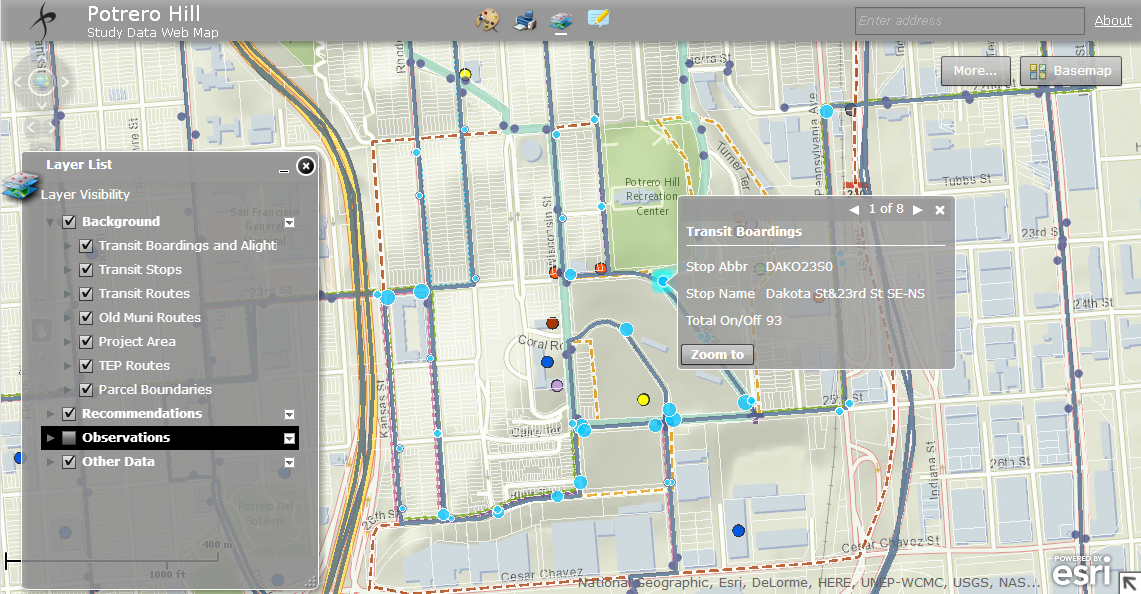
 We developed an interactive webmap for SFCTA’s Potrero Hill project to show project-related data and provide editing tools so that users can add easily understand the environment, and data to the map where needed.
• Managed analysis of land use characteristics
• Designed Esri-based interactive webmap, driven by SFCTA data
• Developed strategy around data organization and visualization strategies